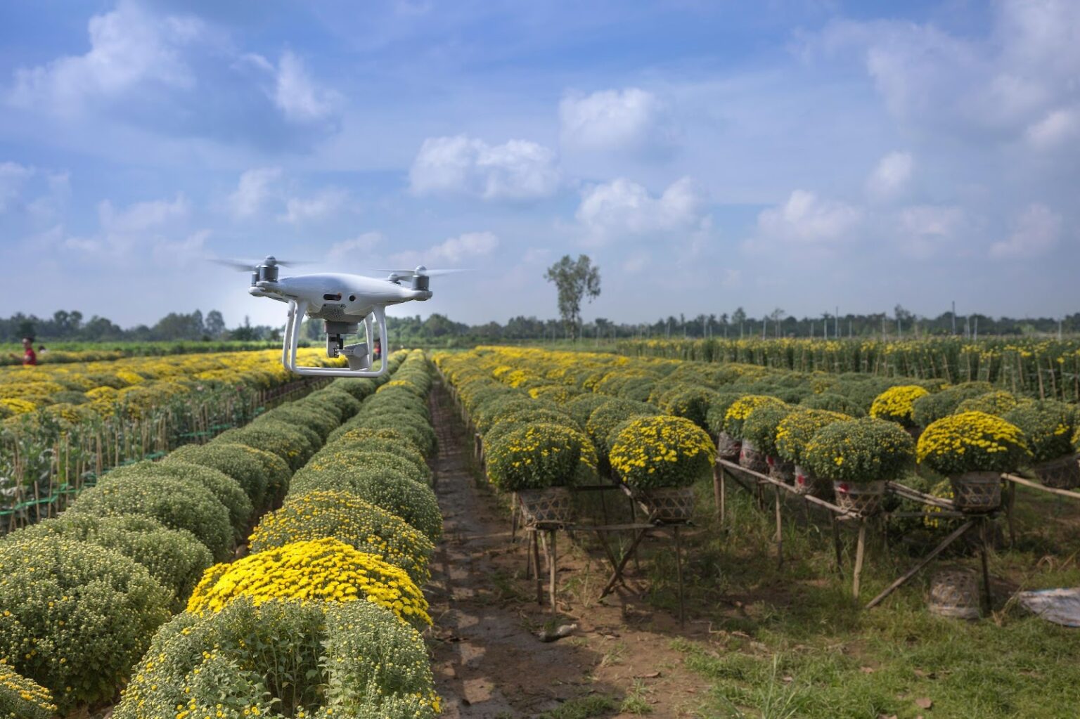
The innovation in drone technology has brought about significant changes in various sectors, offering new ways to collect data and gain insights from a bird’s-eye view. Drone surveys have become an essential tool for professionals, providing efficient and accurate methods for surveying large areas. In this article, we’ll delve into the applications, benefits, and future prospects of drone surveys.
What Are Drone Surveys?
A drone survey involves the use of unmanned aerial vehicles (UAVs) equipped with high-resolution cameras and sensors to capture detailed aerial imagery and data. These surveys can be conducted quickly and with minimal human intervention, making them ideal for a variety of applications.
Key Applications of Drone Surveys
1. Construction and Infrastructure
In the construction industry, drone surveys are used for:
- Site Planning and Analysis: Drones provide precise topographical data, which aids in planning and designing construction projects.
- Progress Monitoring: Regular drone surveys help track the progress of construction projects, ensuring they stay on schedule.
- Inspection and Maintenance: Drones can safely inspect hard-to-reach areas of structures, reducing the risk for workers.
2. Agriculture
Farmers and agricultural professionals use drone surveys for:
- Crop Monitoring: Drones equipped with multispectral cameras can monitor crop health and identify issues such as disease or pest infestations.
- Field Mapping: Accurate field maps help optimize planting patterns and irrigation systems.
- Yield Estimation: Drone surveys provide data that can be used to estimate crop yields, aiding in better planning and resource allocation.
3. Environmental Monitoring
Environmental scientists use drones to:
- Wildlife Monitoring: Drones can observe wildlife populations and their habitats without disturbing them.
- Forestry Management: Drone surveys help in assessing forest health, detecting illegal logging, and planning reforestation efforts.
- Disaster Response: In the aftermath of natural disasters, drones provide critical information for rescue and relief operations.
4. Real Estate and Urban Planning
Real estate developers and urban planners benefit from drone surveys through:
- Property Surveys: High-resolution aerial imagery helps in property assessment and valuation.
- Urban Development: Drones assist in mapping urban areas, planning new developments, and monitoring urban sprawl.
- Marketing: Aerial photos and videos enhance property listings, attracting potential buyers.
Advantages of Drone Surveys
1. Cost-Effectiveness
Traditional surveying methods can be time-consuming and expensive. Drone surveys, on the other hand, reduce labor costs and time spent in the field.
2. Accuracy and Precision
Drones equipped with advanced sensors provide highly accurate data, which is crucial for detailed analysis and decision-making.
3. Safety
Using drones eliminates the need for surveyors to work in hazardous conditions, such as on construction sites or in disaster zones, significantly enhancing safety.
4. Accessibility
Drones can access areas that are difficult or impossible to reach by traditional means, such as rugged terrains, dense forests, or tall structures.
The Future of Drone Surveys
The future of drone surveys looks promising, with advancements in technology continuously expanding their capabilities. Here are a few trends to watch:
1. Improved Sensors and Cameras
The development of more advanced sensors and cameras will enhance the quality and range of data collected by drones. This will allow for even more detailed and accurate surveys.
2. Autonomous Drones
Autonomous drones, capable of conducting surveys without human intervention, are becoming more prevalent. This will further reduce costs and increase efficiency.
3. Data Integration and Analysis
Integrating drone data with other technologies, such as Geographic Information Systems (GIS) and Artificial Intelligence (AI), will provide deeper insights and facilitate better decision-making.
4. Regulatory Developments
As drone technology evolves, so too will the regulatory frameworks governing their use. Ensuring compliance with these regulations will be crucial for the continued growth and acceptance of drone surveys in various industries.
Conclusion
Drone surveys are transforming how industries collect and analyze data. With applications ranging from construction and agriculture to environmental monitoring and real estate, the benefits of drone surveys are vast and varied. As technology continues to advance, the role of drone surveys in modern industry will only become more significant. By embracing the power of drone surveys, businesses and professionals can achieve greater efficiency, accuracy, and safety in their operations.


